3D Modeling and Orthomosaic Services
Sample 3D Model
|
Sample Orthomosaic
|
3D Models
Traditional UAS Imagery
A Uncrewed Aerial System photo is a high-resolution, aerial image of a property or site that is captured using a specialized drone equipped with a camera. Unlike traditional ground-level photography, a UAS photo provides a unique bird's-eye view of the property, giving you a more comprehensive and detailed understanding of the area. UAS photos are taken at a much higher altitude than traditional ground-level photos, allowing for a wider coverage of the property.
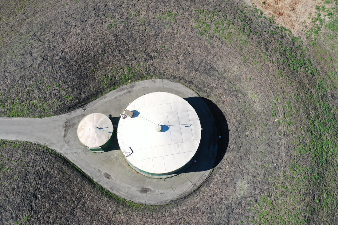
An overhead UAS photo taken at 200 feet above ground level.
|
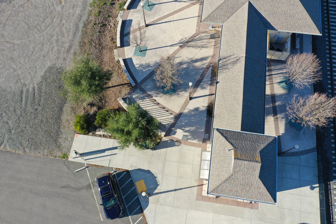
3D Models
Our 3D models utilize the GPS receivers onboard a UAS, ground control points, and hundreds of images and other data points to create models with extreme accuracy. Reliable to within images, these models are perfect for understanding the terrain you are working with, capturing unique aspects of infrastructure, and identifying issues before the develop further.A 3D model generated from hundreds of photos taken at 200 feet above ground level. Accurate to an inch, an accurate 3D model can be utilized to estimate size of structures, surface area, and volume.
|
Orthomosaic Images
Traditional UAS Imagery
A Uncrewed Aerial System photo is a high-resolution, aerial image of a property or site that is captured using a specialized drone equipped with a camera. Unlike traditional ground-level photography, a UAS photo provides a unique bird's-eye view of the property, giving you a more comprehensive and detailed understanding of the area. UAS photos are taken at a much higher altitude than traditional ground-level photos, allowing for a wider coverage of the property.
A traditional UAS photo taken at 200ft above ground level.
|
Orthomosaic Images
An orthomosaic image, unlike a traditional UAS photo, is a high-resolution, geo-referenced image that is created by stitching together multiple aerial photographs. It provides a detailed and accurate representation of your property, including elevation, vegetation, and other important features. Our orthomosaic images provide a more accurate and detailed representation of your property than traditional UAS photos, making it a valuable tool for industries such as agriculture, construction, landscaping, and more.
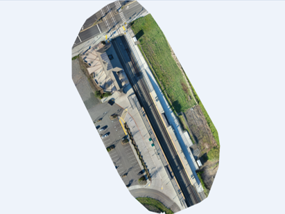
A sample of an orthmosaic photo taken at 200ft above ground. Resolution of Orthomosaics is generally higher than the photos used to generate them.
|